Stroud Green Guide

Map of the N4 Postcode District
The N4 postcode district is a postal district with a population of 47,291 and is within the N postcode area.
The area of the N4 postcode district is 1.63 square miles which is 4.21 square kilometres or 1,041.41 acres.
Currently the N4 district has 858 postcode units.
There are 4 postcode sectors within the N4 district.
The sector has postcodes within the nation of England.
The N4 Postcode District is covers the following regions.
Haringey and Islington - Inner London - East - London
Hackney and Newham - Inner London - East - London
Enfield - Outer London - East and North East - London
Town/Area
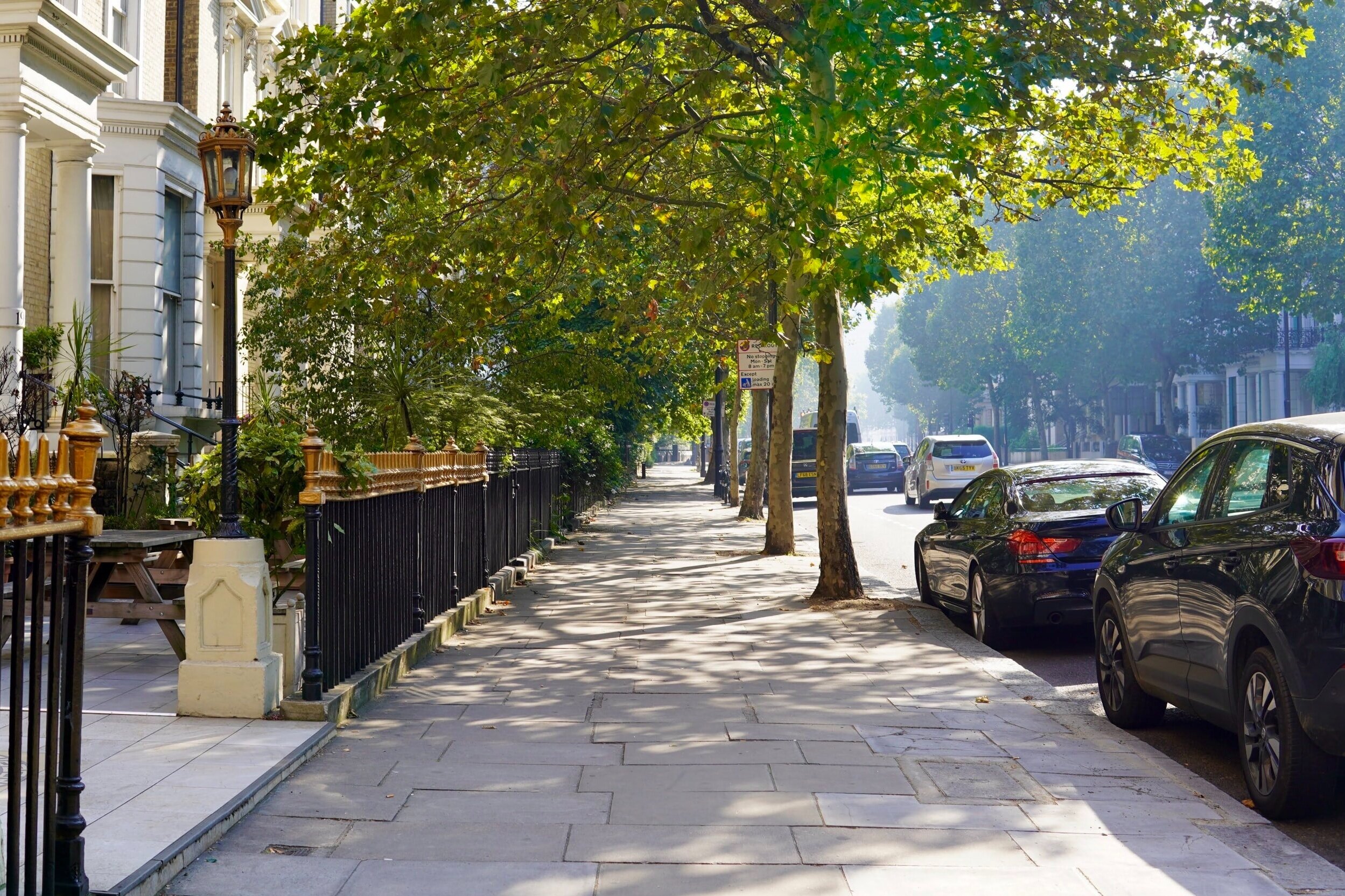
Stroud Green, London
Stroud Green is a suburb and electoral ward in north London, England, in the London Borough of Haringey. On its south-western side, Stroud Green Road forms part of the boundary with the London Borough of Islington. Stroud Green Road is the main local hub and shopping area.

Amenities
Stroud Green Road is the main street for shopping and eating and it is always bustling with activity. There are dozens of restaurants offering a diverse mix of cuisines. The Old Dairy bar is a local favorite with great history.
The nearby Finsbury Park is a local favorite and it's been upgraded to have more amenities. It's got a cafe, gym, track, skate park, tennis courts, pond, playground, and large open spaces. This park is also home to a lot of local events and festivals. The Parkland Walk runs throughout the neighbourhood and provides ample space for dog walking, evening strolls, and safe cycling.

Local Transport Links
Manor House Underground Station - within a mile
Harringay Railway Station - within a mile
Finsbury Park Station (Railway Station) - within a mile
Finsbury Park Underground Station - within a mile
Harringay Green Lanes Railway Station - within a mile
Crouch Hill Railway Station - within a mile
Arsenal Underground Station - within a mile
Hornsey Railway Station - 1 mile N
Stamford Hill Railway Station - 1 mile E
Upper Holloway Station (Railway Station) - 1 mile SW
Drayton Park Railway Station - 1 mile S
Holloway Road Underground Station - 1 mile S
Turnpike Lane Underground Station - 1 mile N
Stoke Newington Railway Station - 1 mile E
Archway Underground Station - 1 mile W
Seven Sisters Station (Railway Station) - 1 mile NE
South Tottenham Railway Station - 1 mile NE
Seven Sisters Underground Station - 2 miles NE
Canonbury Railway Station - 2 miles S
Caledonian Road Underground Station - 2 miles S
Rectory Road Railway Station - 2 miles SE
Highbury & Islington Underground Station - 2 miles S
Highbury & Islington Station (Railway Station) - 2 miles S
Tufnell Park Underground Station - 2 miles SW
Wood Green Underground Station - 2 miles N

Nearby Points of Interest
Arsenal Stadium - within a mile
Emirates Stadium - 1 mile S
St Thomas Church - 2 miles E
Springfield Park - 2 miles E
Tottenham Hotspur FC (Stadium) - 3 miles NE
Hampstead Heath (Park) - 3 miles W
Clapton Park - 3 miles SE
Regent´s Park - 3 miles SW
Regent's Park - 4 miles SW
University of London - 4 miles S
St Bartholomew-the-Great (Church) - 4 miles S
St Giles-without-Cripplegate (Church) - 4 miles S
St Bartholomew-the-Less (Church) - 4 miles S
British Museum - 4 miles S
City Temple (Church) - 4 miles S
St Alphage London Wall (Ruin) - 4 miles S
St Andrew, Holborn (Church) - 4 miles S
St Botolph's Aldersgate (Church) - 4 miles S
Postman's Park - 4 miles S
St Alban (Tower) - 4 miles S
St Anne and St Agnes (Church) - 4 miles S
Lincolns Inn Fields (Park) - 4 miles S
Christ Church Greyfriars (Ruin) - 4 miles S
All Hallows-on-the-Wall (Church) - 4 miles S
St Botolph-without-Bishopsgate (Church) - 4 miles S

Nursery Schools
Stroud Green, London
Ambler Children's Centre
Conewood Street Children's Centre
Hornsey Road Childrens Centre
Margaret McMillan Nursery School
North Islington Nursery School
North Islington Nursery School and Children's Centre
The Ladder Children's Centre
Willow Children's Centre

Primary Schools
Stroud Green, London
Ashmount Primary School
Christ The King RC Primary School
Coleridge Primary School
Duncombe Primary School
Grafton Primary School
Kestrel House School
Montem Primary School
Pakeman Primary School
Pooles Park Primary School
Rokesly Junior School
St Aidan's Voluntary Controlled Primary School
St Gildas' Catholic Junior School
St Mark's CofE Primary School
St Mary's CofE Primary School
St Peter-in-Chains RC Infant School
Stroud Green Primary School
Weston Park Primary School

Secondary Schools
Stroud Green, London
Arts and Media School Islington
City of London Academy, Highgate Hill
Highbury Fields School
Hornsey School for Girls
Highgate Wood Secondary School
Kestrel House School
St Mary's CofE Primary School

Sixth Forms & Colleges
Stroud Green, London
City of London Academy, Highgate Hill
Highgate Wood Secondary School
Hornsey School for Girls
Skinners' Academy
St Aloysius RC College
St Mary's CofE Primary School

Closest Airports
London City Airport - 8 miles SE
Northolt - 14 miles W
London Heathrow Terminal 1 - 16 miles SW
London Heathrow Terminal 2 - 17 miles SW
London Heathrow Terminal 4 - 17 miles SW
London Heathrow Airport - 17 miles SW
London Heathrow Terminal 3 - 17 miles SW
Biggin Hill - 18 miles S
London Heathrow Terminal 5 - 18 miles SW
Luton Airport - 24 miles NW

Hotels Near N19
Best Western London Highbury - within a mile
Pembury Hotel - within a mile
United Lodge Hotel and Apartments - within a mile
Queens Hotel - within a mile
Queens Drive Hotel - within a mile
Central Park Hotel - within a mile
Finsbury Park Apartments - within a mile
London Finsbury Park Apartments - within a mile
Beaconsfield Hotel - within a mile
Finsbury Park Homes - within a mile
Gloucester Hotel - within a mile
London Shelton Hotel - within a mile
Three Bedroom House on Mount View Road - within a mile
Fonthill House - within a mile
Stapleton Apartment - within a mile

Closest Hospitals
Barnet Enfield Haringey NHS Trust - within a mile
Whittington Hospital - 2 miles W
Homerton Hospital - 3 miles SE
Royal Free Hospital The - 3 miles SW
Royal National Throat Nose & Ear Hospital The - 3 miles S
Moorfields Eye Hospital - 3 miles S
Eastman Dental Hospital & Institute - 3 miles S
North Middlesex Hospital - 3 miles N
Great Ormond Street Hospital The - 3 miles S
National Hospital For Neurology & Neuro Surgery - 3 miles S