Upper Holloway Area Guide

Map of the N19 Postcode District
The N19 postcode district is a postal district with a population of 33,752 and is within the N postcode area.
The area of the N19 postcode district is 0.95 square miles which is 2.46 square kilometres or 607.47 acres.
Currently the N19 district has 647 postcode units.
Town/Area
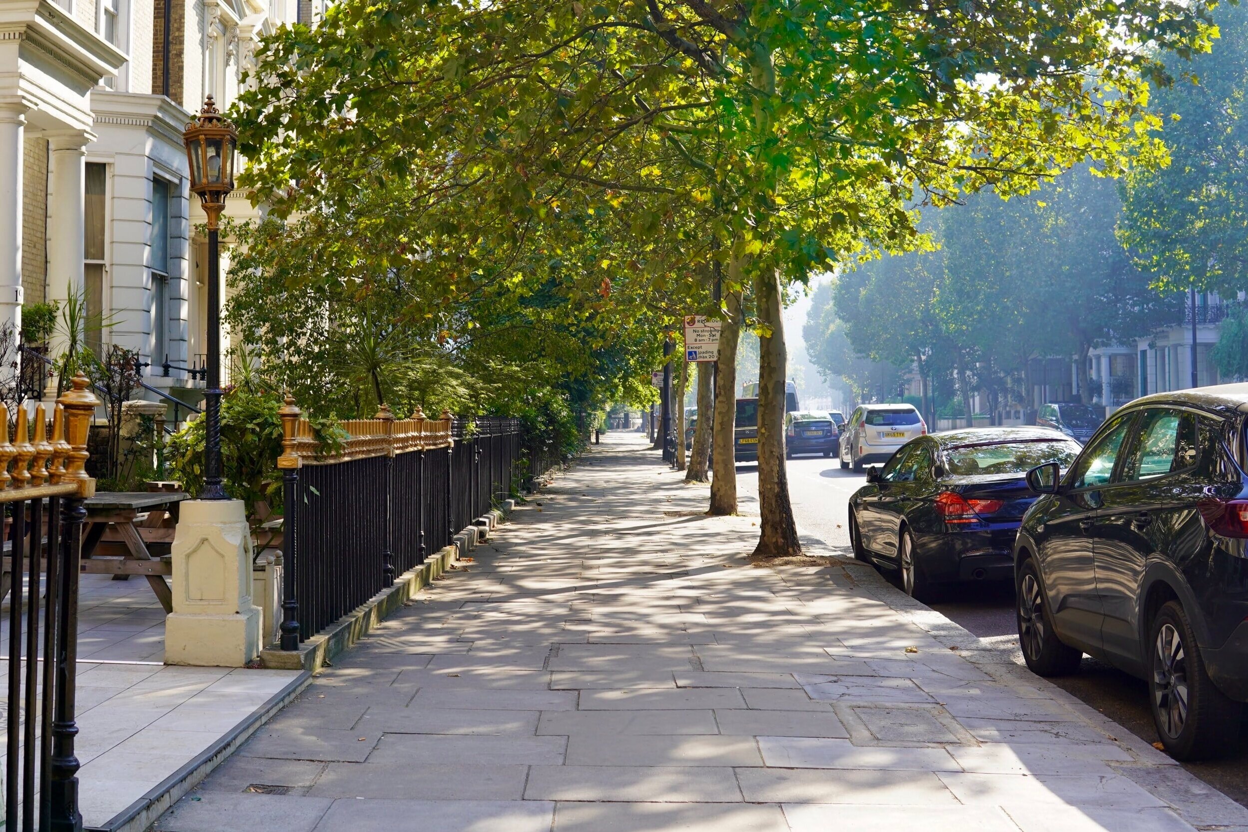
Upper Holloway, London
Upper Holloway is a district in the London Borough of Islington, London. The name has fallen out of common use and the area is generally regarded as being a part of Archway. The use of 'Upper Holloway' is most often used for Upper Holloway railway station. Upper Holloway is the original designation of the N19 postal district. The classic late Victorian comic novel Diary of a Nobody is set in Upper Holloway.

Amenities
Aside from great places to eat and shop, there are many local attractions, N19 has an amazing selection of upmarket shops, cafes and restaurants. Away from its noisy main road, Holloway has streets of fine Victorian houses that attract young couples and families priced out of areas such as Islington and Highgate. Finsbury Park at the north end of Holloway and Highbury Fields at the south end are the two nearest parks. Gillespie Park, entrance on Drayton Park, is the local nature reserve and home to the Islington Ecology Centre.

Local Transport Links
Upper Holloway Station (Railway Station) - within a mile
Archway Underground Station - within a mile
Tufnell Park Underground Station - within a mile
Crouch Hill Railway Station - within a mile
Finsbury Park Station (Railway Station) - 1 mile E
Finsbury Park Underground Station - 1 mile E
Kentish Town Station (Railway Station) - 1 mile SW
Kentish Town Underground Station - 1 mile S
Highgate Underground Station - 1 mile NW
Holloway Road Underground Station - 1 mile SE
Arsenal Underground Station - 1 mile SE
Gospel Oak Railway Station - 1 mile SW
Caledonian Road Underground Station - 1 mile SE
Harringay Railway Station - 1 mile NE
Drayton Park Railway Station - 1 mile SE
Kentish Town West Railway Station - 1 mile SW
Manor House Underground Station - 2 miles E
Harringay Green Lanes Railway Station - 2 miles NE
Caledonian Road & Barnsbury Railway Station - 2 miles SE
Hornsey Railway Station - 2 miles NE
Camden Road Railway Station - 2 miles S
Hampstead Heath Railway Station - 2 miles SW
Highbury & Islington Station (Railway Station) - 2 miles SE
Highbury & Islington Underground Station - 2 miles SE
Chalk Farm Underground Station - 2 miles SW

Nearby Points of Interest
Emirates Stadium - 1 mile SE
Arsenal Stadium - 1 mile SE
Hampstead Heath (Park) - 2 miles W
Regent’s Park - 3 miles S
Regent's Park - 3 miles SW
St Thomas Church - 3 miles E
University of London - 3 miles S
Lords Cricket Ground (Stadium) - 3 miles SW
Springfield Park - 3 miles E
Madame Tussaud's London (Museum) - 3 miles S
British Museum - 3 miles S
Lincolns Inn Fields (Park) - 3 miles S
St Bartholomew-the-Great (Church) - 3 miles SE
St Andrew, Holborn (Church) - 3 miles S
City Temple (Church) - 3 miles S
St Bartholomew-the-Less (Church) - 4 miles S
St Giles-without-Cripplegate (Church) - 4 miles SE
London School of Economics and Political Science (University) - 4 miles
Dr Johnson's House (Museum) - 4 miles S
St Botolph's Aldersgate (Church) - 4 miles SE
St Dunstan-in-the-West (Church) - 4 miles S
Postman's Park - 4 miles SE
Prince Henry's Room (Museum) - 4 miles S
Christ Church Greyfriars (Ruin) - 4 miles S
St Anne and St Agnes (Church) - 4 miles SE

Nursery Schools
Upper Holloway, London
Ambler Children's Centre
Archway Children's Centre
Conewood Street Children's Centre
Hornsey Road Childrens Centre
Margaret McMillan Nursery School
North Islington Nursery School
North Islington Nursery School and Children's Centre
Willow Children's Centre

Primary Schools
Upper Holloway, London
Ashmount Primary School
Brookfield Primary School
Channing School
Coleridge Primary School
Grafton Primary School
Hargrave Park Primary School
Highgate School
Kestrel House School
Montem Primary School
New River College Medical
Odyssey House School
Pakeman Primary School
St Gildas' Catholic Junior School
St John's Upper Holloway CofE Primary School
St Joseph's Catholic Primary School
St Mark's CofE Primary School
St Michael's CofE Voluntary Aided Primary School
St Peter-in-Chains RC Infant School
Stroud Green Primary School
Whitehall Park School
Yerbury Primary School

Secondary Schools
Upper Holloway, London
Acland Burghley School
Arts and Media School Islington
Channing School
City of London Academy, Highgate Hill
Highgate School
Kestrel House School
La Sainte Union Catholic Secondary School
New River College Medical
Odyssey House School
Parliament Hill School
St Aloysius RC College
William Ellis School

Sixth Forms & Colleges
Upper Holloway, London
Channing School
City of London Academy, Highgate Hill
Highgate School
La Sainte Union Catholic Secondary School
St Aloysius RC College

Closest Airports
London City Airport - 9 miles SE
Northolt - 12 miles W
London Heathrow Terminal 1 - 15 miles SW
London Heathrow Terminal 2 - 15 miles SW
London Heathrow Terminal 4 - 15 miles SW
London Heathrow Airport - 15 miles SW
London Heathrow Terminal 3 - 16 miles SW
London Heathrow Terminal 5 - 17 miles SW
Biggin Hill - 18 miles SE
Luton Airport - 24 miles NW
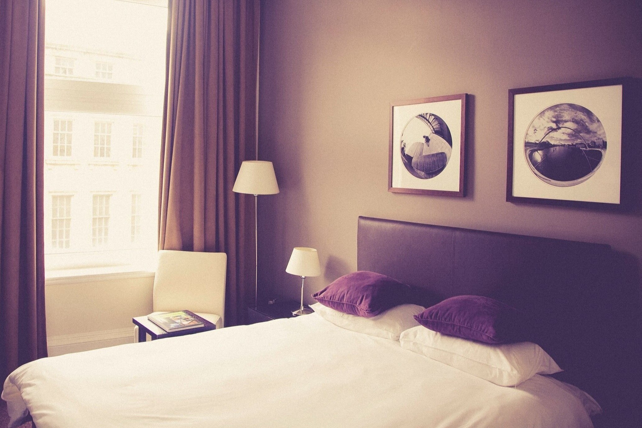
Hotels Near N19
SO Arch Aparthotel - within a mile
Premier Inn London Archway - within a mile
Archway Garden Apartment - within a mile
House Tavistock Terrace - Islington - within a mile
Four Bedroom House Tufnell Park - Islington - within a mile
House Mercers Road -Tufnell Park - within a mile
Family Fashion - within a mile
Old Crown Inn B&B Highgate Village - within a mile
Four Bed Home in trendy Tufnell Park - within a mile
House Tufnell Park Road - Islington - within a mile
Finsbury Park Apartment - within a mile
Charlies Hotel - within a mile
Five Kings Hotel - within a mile
Queens Hotel - within a mile
Garden Views - within a mile

Closest Hospitals
SO Arch Aparthotel - within a mile
Premier Inn London Archway - within a mile
Archway Garden Apartment - within a mile
House Tavistock Terrace - Islington - within a mile
Four Bedroom House Tufnell Park - Islington - within a mile
House Mercers Road -Tufnell Park - within a mile
Family Fashion - within a mile
Old Crown Inn B&B Highgate Village - within a mile
Four Bed Home in trendy Tufnell Park - within a mile
House Tufnell Park Road - Islington - within a mile
Finsbury Park Apartment - within a mile
Charlies Hotel - within a mile
Five Kings Hotel - within a mile
Queens Hotel - within a mile
Garden Views - within a mile