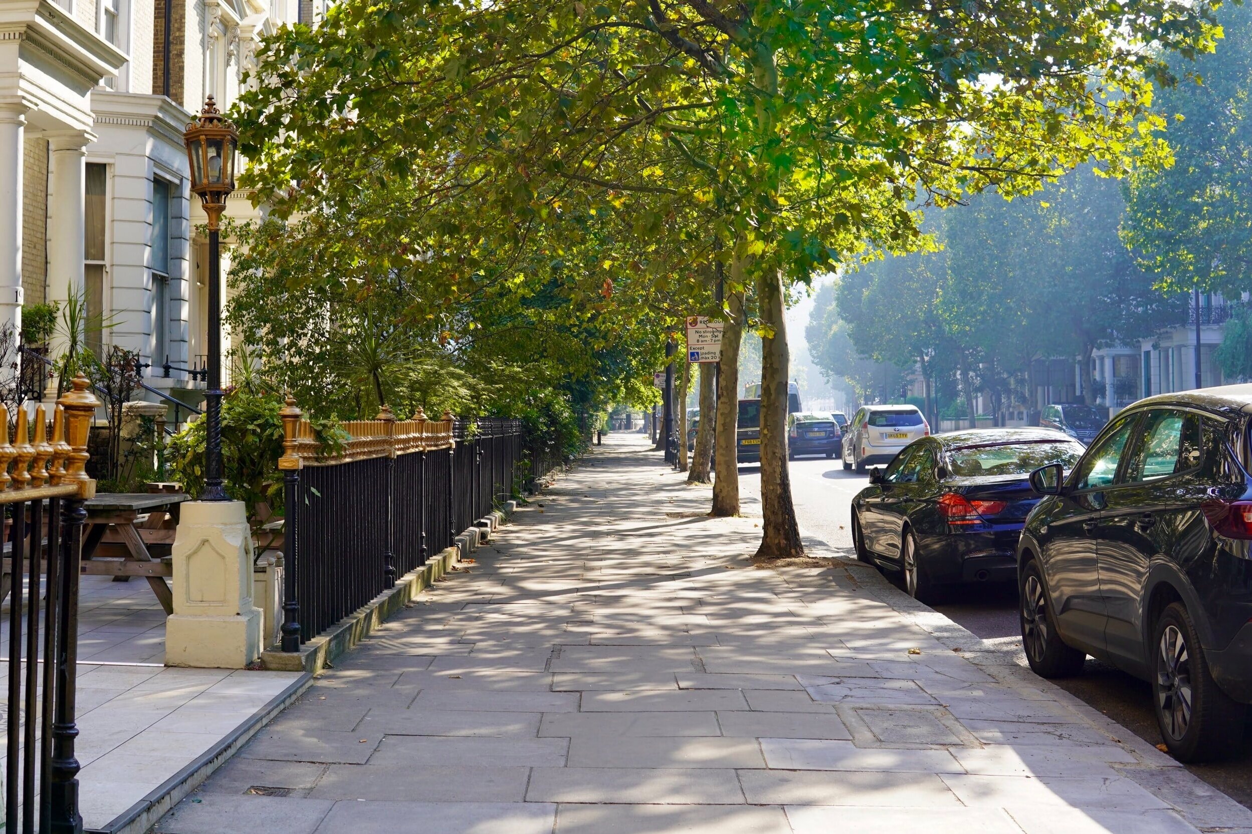
Shacklewell Area Guide

Map of the N16 Postcode District
The N16 postcode district is a postal district with a population of 68,567 and is within the N postcode area.
The area of the N16 postcode district is 1.79 square miles which is 4.63 square kilometres or 1,143.84 acres.
Currently the N16 district has 1125 postcode units.
There are 6 postcode sectors within the N16 district.
The sector has postcodes within the nation of England.
The N16 Postcode District is covers the following regions.
Hackney and Newham - Inner London - East - London
Haringey and Islington - Inner London - East - London
Town/Area
Shacklewell, London
Shacklewell is bordered on the north by Stoke Newington, on the east by Hackney, on the south by Dalston, and on the west by Highbury. With its adventurous taste in live music, the neighbouring mission hall hosts community events and activities. The nearest station to Shacklewell Lane is Hackney Downs Railway Station which is about 10 minutes to the South East.

Amenities
Shacklewell is bordered on the north by Stoke Newington, on the east by Hackney, on the south by Dalston, and on the west by Highbury. Shacklewell is just one of those areas that seems to be absorbed by the neighborhoods around it. With hip spots like Hackney and Dalston as neighbors, it's easy to be overlooked.

Local Transport Links
Stoke Newington Railway Station - within a mile
Rectory Road Railway Station - within a mile
Stamford Hill Railway Station - within a mile
Clapton Railway Station - within a mile
Manor House Underground Station - within a mile
Dalston Kingsland Railway Station - 1 mile S
Hackney Downs Railway Station - 1 mile SE
Canonbury Railway Station - 1 mile SW
South Tottenham Railway Station - 1 mile N
Finsbury Park Station (Railway Station) - 1 mile W
Finsbury Park Underground Station - 1 mile W
Arsenal Underground Station - 1 mile W
Seven Sisters Station (Railway Station) - 1 mile N
Harringay Green Lanes Railway Station - 1 mile NW
Hackney Central Railway Station - 1 mile SE
Drayton Park Railway Station - 1 mile SW
Seven Sisters Underground Station - 1 mile N
Harringay Railway Station - 2 miles NW
Highbury & Islington Underground Station - 2 miles SW
Highbury & Islington Station (Railway Station) - 2 miles SW
Holloway Road Underground Station - 2 miles SW
London Fields Railway Station - 2 miles SE
Essex Road Railway Station - 2 miles SW
Homerton Railway Station - 2 miles SE
Crouch Hill Railway Station - 2 miles W

Nearby Points of Interest
St Thomas Church - within a mile
Springfield Park - within a mile
Arsenal Stadium - 1 mile W
Emirates Stadium - 1 mile W
Clapton Park - 2 miles SE
Tottenham Hotspur FC (Stadium) - 3 miles N
St Giles-without-Cripplegate (Church) - 3 miles S
St Botolph-without-Bishopsgate (Church) - 3 miles S
St Alphage London Wall (Ruin) - 3 miles S
St Bartholomew-the-Great (Church) - 3 miles S
All Hallows-on-the-Wall (Church) - 3 miles S
St Bartholomew-the-Less (Church) - 3 miles S
St Alban (Tower) - 3 miles S
Dutch Church, Austin Friars - 3 miles S
St Botolph's Aldersgate (Church) - 3 miles S
Postman's Park - 3 miles S
St Anne and St Agnes (Church) - 3 miles S
City Temple (Church) - 3 miles S
Christ Church Greyfriars (Ruin) - 3 miles S
St Andrew Undershaft (Church) - 3 miles S
Elim Pentecostal Church - 3 miles E
St Andrew, Holborn (Church) - 3 miles S
Leytonstone United Free Church - 3 miles E
Bow (Castle) - 3 miles SE
St Paul's Cathedral (Church) - 4 miles S

Nursery Schools
Shacklewell, London
Linden Children's Centre
The Factory Children's Centre

Primary Schools
Shacklewell, London
Benthal Primary School
Colvestone Primary School
Halley House School
Linden Children's Centre
Mossbourne Parkside Academy
Princess May Primary School
Shacklewell Primary School
St Matthias Church of England Primary School
The Factory Children's Centre
The Garden School
William Patten Primary School

Secondary Schools
Shacklewell, London
Inspired Directions School
Stormont House School
Tawhid Boys School, Tawhid Educational Trust
The Garden School
The Petchey Academy

Sixth Forms & Colleges
Shacklewell, London
Mossbourne Community Academy
Stoke Newington School and Sixth Form
The Brooke House Sixth Form College
The Petchey Academy

Closest Airports
London City Airport - 7 miles SE
Northolt - 15 miles W
Biggin Hill - 17 miles S
London Heathrow Terminal 1 - 17 miles W
London Heathrow Terminal 2 - 17 miles W
London Heathrow Terminal 4 - 17 miles SW
London Heathrow Airport - 18 miles W
London Heathrow Terminal 3 - 18 miles W
London Heathrow Terminal 5 - 19 miles W
Luton Airport - 25 miles NW

Hotels Near N19
Gibson Garden Apartment London - within a mile
Rose and Crown - within a mile
Three Bedroom Apartment in Stoke Newington - within a mile
Kadimah Hotel - within a mile
London Holloway Apartment - within a mile
Divine Delights - within a mile
Global Lodge - within a mile
Arsenal Tavern Backpackers - within a mile
River Lane - within a mile
Best Western London Highbury - 1 mile W
Beresford Road London Rooms - 1 mile SW
Finsbury Park Homes - 1 mile W
Gloucester Hotel - 1 mile W
Queens Drive Hotel - 1 mile W
Central Park Hotel - 1 mile W

Closest Hospitals
Barnet Enfield Haringey NHS Trust - 1 mile NW
Homerton Hospital - 2 miles SE
Moorfields Eye Hospital - 3 miles S
Whittington Hospital - 3 miles W
Royal National Throat Nose & Ear Hospital The - 3 miles SW
Eastman Dental Hospital & Institute - 3 miles SW
Royal London Hospital Whitechapel - 3 miles S
Barts & London NHS Trust - 3 miles S
Great Ormond Street Hospital The - 3 miles SW
National Hospital For Neurology & Neuro Surgery - 3 miles SW