Kentish Town Area Guide

Map of NW5 Postcode District
The NW5 postcode district is a postal district with a population of 31,125 and is within the NW postcode area.
The area of the NW5 postcode district is 1.17 square miles which is 3.02 square kilometres or 746.67 acres.
Currently the NW5 district has 824 postcode units.
There are 4 postcode sectors within the NW5 district.
The sector has postcodes within the nation of England.
The NW5 Postcode District is covers the following regions.
Camden and City of London - Inner London - West - London
Haringey and Islington - Inner London - East - London
Town/Area
Kentish Town, London
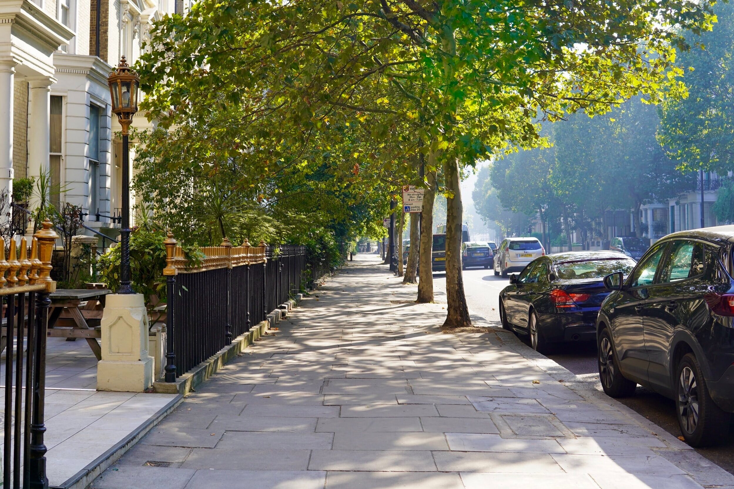
Kentish Town is an area of north west London, in the London Borough of Camden. Many old buildings remain in Kentish Town, albeit hidden behind the facades of modern shops or neglected, and it is still possible to get a good impression of Kentish Town's heritage in present-day NW5. Kentish Town has always been noted for its pubs and bars. Kentish Town has a fairly large boundary, stretching from Camden Gardens to as a far north as the Highgate Road/Gordon House Road junction near Dartmouth Park. Kentish Town generally includes the areas to the west, around Queens Crescent and to the east around Torriano.

Amenities
Kentish Town is a wonderfully diverse area with nearby popular destinations, eateries and drinking spots of all shapes and sizes. Its location balances between the perks of a residential neighbourhood, and the abundant variety of shopping, eating and drinking destinations of Central London! Surrounded by a wealth of sights, it’s a great option for students looking to live in a quiet area with convenient commute options and lots of exciting places at their doorstep.

Local Transport Links
Kentish Town Station (Railway Station) - within a mile
Kentish Town Underground Station - within a mile
Kentish Town West Railway Station - within a mile
Gospel Oak Railway Station - within a mile
Tufnell Park Underground Station - within a mile
Chalk Farm Underground Station - within a mile
Camden Road Railway Station - within a mile
Belsize Park Underground Station - within a mile
Camden Town Underground Station - within a mile
Hampstead Heath Railway Station - within a mile
Archway Underground Station - 1 mile NE
Upper Holloway Station (Railway Station) - 1 mile NE
Caledonian Road Underground Station - 1 mile E
Mornington Crescent Underground Station - 1 mile S
Holloway Road Underground Station - 1 mile E
Caledonian Road & Barnsbury Railway Station - 1 mile SE
Swiss Cottage Underground Station - 1 mile SW
Hampstead Underground Station - 1 mile W
Finchley Road Underground Station - 2 miles W
King's Cross Railway Station - 2 miles SE
Euston Station (Railway Station) - 2 miles S
Drayton Park Railway Station - 2 miles E
St Pancras Railway Station - 2 miles SE
Finchley Road & Frognal Railway Station - 2 miles W
Euston Underground Station - 2 miles S

Nearby Points of Interest
Hampstead Heath (Park) - 1 mile NW
Regent´s Park - 1 mile S
Regent's Park - 2 miles S
Emirates Stadium - 2 miles E
Arsenal Stadium - 2 miles E
Lords Cricket Ground (Stadium) - 2 miles SW
Madame Tussaud's London (Museum) - 2 miles S
University of London - 2 miles S
British Museum - 2 miles S
Lincolns Inn Fields (Park) - 3 miles SE
London School of Economics and Political Science (University) - 3 miles
St Andrew, Holborn (Church) - 3 miles SE
City Temple (Church) - 3 miles SE
London Transport Museum - 3 miles S
St Bartholomew-the-Great (Church) - 3 miles SE
Dr Johnson's House (Museum) - 3 miles SE
St Dunstan-in-the-West (Church) - 3 miles SE
R. Twining & Company Limited (Museum) - 3 miles SE
Prince Henry's Room (Museum) - 3 miles SE
Royal Academy (Museum) - 3 miles S
St Bartholomew-the-Less (Church) - 3 miles SE
Courtauld Institute of Art (Museum) - 3 miles SE
Gilbert Collection (Museum) - 3 miles SE
National Portrait Gallery (Museum) - 3 miles S
The Temple Church - 3 miles SE

Nursery Schools
Kentish Town, London
Agar Children's Centre
Archway Children's Centre
Harmood Children's Centre
Hungerford Children's Centre

Primary Schools
Kentish Town, London
Brookfield Primary School
Carlton Primary School
College Francais Bilingue De Londres
Eleanor Palmer Primary School
Fleet Primary School
Gospel Oak Primary School
Hampstead Hill School
Hargrave Park Primary School
Hawley Primary School
Holy Trinity and Saint Silas CofE Primary School, NW1
Kentish Town Church of England Primary School
La Petite Ecole Bilingue
Primrose Hill School
Rhyl Primary School
Royal Free Hospital Children's School
St Dominic's Catholic Primary School
St John's Upper Holloway CofE Primary School
St Patrick's Catholic Primary School
The Cavendish School
The Village Prep School
Torriano Primary School
Tufnell Park Primary School

Secondary Schools
Kentish Town, London
Acland Burghley School
Beacon High
CCfL Key Stage 3 PRU
CCfL Key Stage 4 PRU
College Francais Bilingue De Londres
Fine Arts College
Hampstead Hill School
Haverstock School
Parliament Hill School
Royal Free Hospital Children's School
The Bridge Satellite Provision
The Camden School for Girls
Wac Arts College
William Ellis School

Sixth Forms & Colleges
Kentish Town, London
Acland Burghley School
Elfrida Rathbone Camden - Leighton College
Fine Arts College
Hampstead Hill School
Haverstock School
La Sainte Union Catholic Secondary School
Parliament Hill School
The Bridge Satellite Provision
The Camden School for Girls
Wac Arts College
William Ellis School

Closest Airports
London City Airport - 9 miles E
Northolt - 12 miles W
London Heathrow Terminal 1 - 14 miles SW
London Heathrow Terminal 2 - 14 miles SW
London Heathrow Terminal 4 - 14 miles SW
London Heathrow Airport - 15 miles SW
London Heathrow Terminal 3 - 15 miles SW
London Heathrow Terminal 5 - 16 miles W
Biggin Hill - 17 miles SE
Luton Airport - 24 miles NW
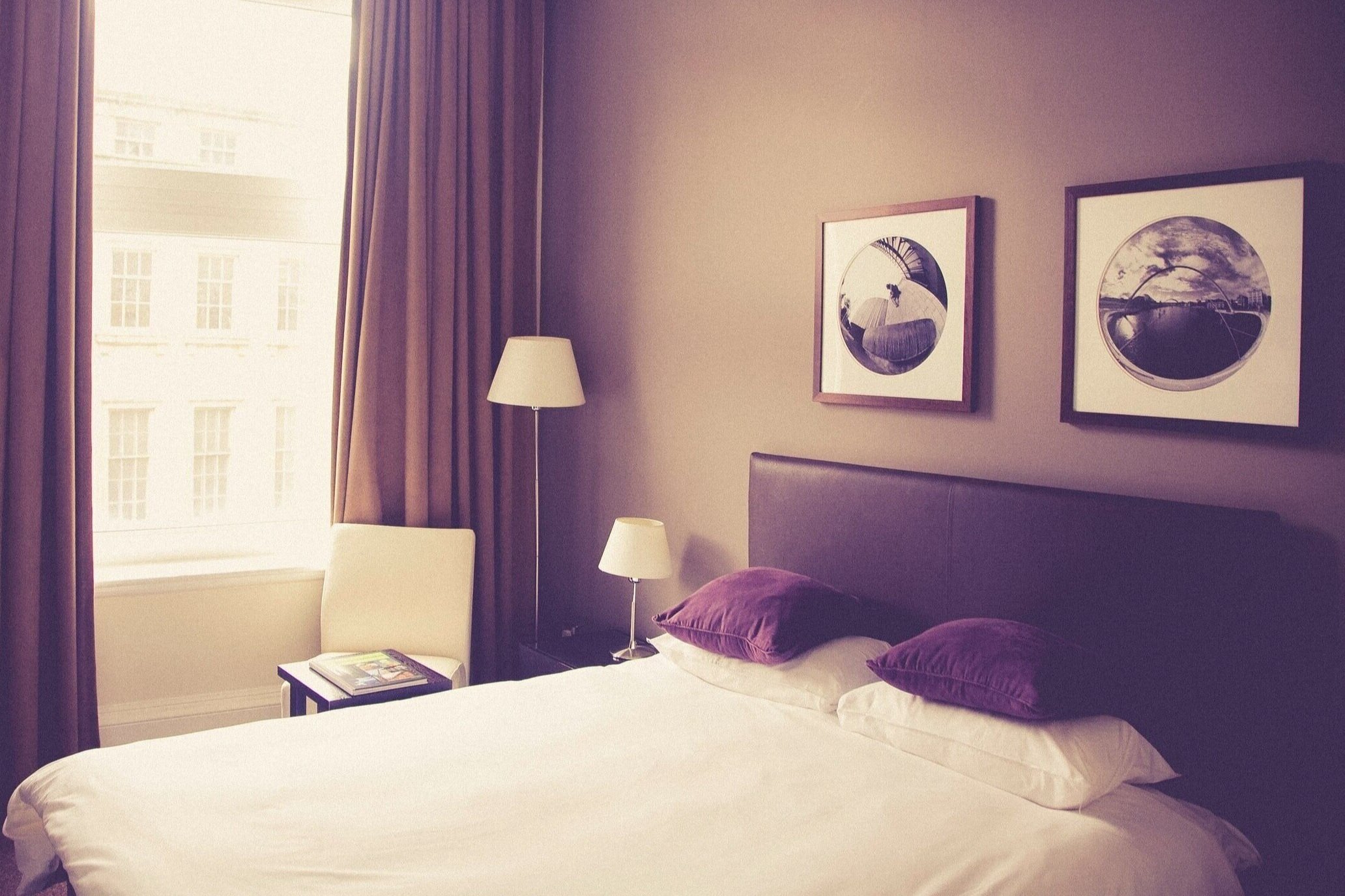
Hotels Near N19
Two Bedroom Apartment in Kentish Town - within a mile
City Stay Aparts - Camden Townhouse - within a mile
Camden BnB - within a mile
Garden Views - within a mile
House Healey Street Kentish Town - within a mile
Access Camden - within a mile
Family Traditions - within a mile
Leafy Family Base - within a mile
Queens Hotel - within a mile
House Tufnell Park Road - Islington - within a mile
Camden Town Apartments - within a mile
Four Bed Home in trendy Tufnell Park - within a mile
Northpoint Square - within a mile
Camden Lock Hotel - within a mile
Family Fashion - within a mile

Closest Hospitals
Royal Free Hospital The - within a mile
Whittington Hospital - 1 mile N
Wellington Hospital - 2 miles SW
Hospital Of St John & St Elizabeth - 2 miles SW
Royal National Throat Nose & Ear Hospital The - 2 miles SE
Elizabeth Garrett Anderson Hospital For Women - 2 miles S
St Lukes Hospital For The Clergy - 2 miles S
Royal National Orthopaedic Hospital Trust - 2 miles S
Royal London Homoeopathic Hospital - 2 miles S
London Foot Hospital The - 2 miles S