Gospel Oak Area Guide

Map of NW5 Postcode District
The NW5 postcode district is a postal district with a population of 31,125 and is within the NW postcode area.
The area of the NW5 postcode district is 1.17 square miles which is 3.02 square kilometres or 746.67 acres.
Currently the NW5 district has 824 postcode units.
There are 4 postcode sectors within the NW5 district.
The sector has postcodes within the nation of England.
The NW5 Postcode District is covers the following regions.
Camden and City of London - Inner London - West - London
Haringey and Islington - Inner London - East - London
Town/Area
Gospel Oak, London
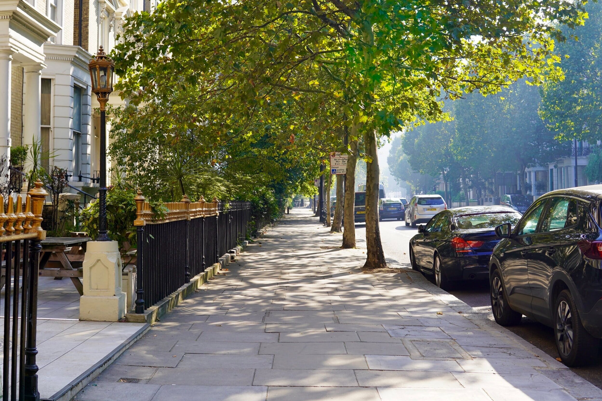
Gospel Oak is an inner urban area of north London in the London Borough of Camden below Hampstead Heath. It is bordered by the more affluent areas of Belsize Park to the west, Kentish Town to the south, Eastern Hampstead to the North and Dartmouth Park and Tufnell Park to the east. Gospel Oak railway station is served by London Overground (formerly Silverlink) services on the North London Line and the Gospel Oak to Barking line.

Amenities
Hampstead and Camden make all the news, but Gospel Oak is happy being a low-key neighbourhood with great homes, excellent travel links and a strong sense of community. With Camden just a hop and skip away you can take advantage of its world-class nightlife. From dingy bars to all-night clubs, Camden attracts millions of people each year, and it's right on your doorstep. There is a market in Queen’s Crescent on Thursdays and Saturdays and local shops along Malden Road and Mansfield Road. Parliament Hill Fields, the section of Hampstead Heath closest to Gospel Oak, has a café, an athletics track and a lido, and leads directly on to the Heath’s 800 semi-wild acres.

Local Transport Links
Manor House Underground Station - within a mile
Harringay Railway Station - within a mile
Finsbury Park Station (Railway Station) - within a mile
Finsbury Park Underground Station - within a mile
Harringay Green Lanes Railway Station - within a mile
Crouch Hill Railway Station - within a mile
Arsenal Underground Station - within a mile
Hornsey Railway Station - 1 mile N
Stamford Hill Railway Station - 1 mile E
Upper Holloway Station (Railway Station) - 1 mile SW
Drayton Park Railway Station - 1 mile S
Holloway Road Underground Station - 1 mile S
Turnpike Lane Underground Station - 1 mile N
Stoke Newington Railway Station - 1 mile E
Archway Underground Station - 1 mile W
Seven Sisters Station (Railway Station) - 1 mile NE
South Tottenham Railway Station - 1 mile NE
Seven Sisters Underground Station - 2 miles NE
Canonbury Railway Station - 2 miles S
Caledonian Road Underground Station - 2 miles S
Rectory Road Railway Station - 2 miles SE
Highbury & Islington Underground Station - 2 miles S
Highbury & Islington Station (Railway Station) - 2 miles S
Tufnell Park Underground Station - 2 miles SW
Wood Green Underground Station - 2 miles N

Nearby Points of Interest
Arsenal Stadium - within a mile
Emirates Stadium - 1 mile S
St Thomas Church - 2 miles E
Springfield Park - 2 miles E
Tottenham Hotspur FC (Stadium) - 3 miles NE
Hampstead Heath (Park) - 3 miles W
Clapton Park - 3 miles SE
Regent´s Park - 3 miles SW
Regent's Park - 4 miles SW
University of London - 4 miles S
St Bartholomew-the-Great (Church) - 4 miles S
St Giles-without-Cripplegate (Church) - 4 miles S
St Bartholomew-the-Less (Church) - 4 miles S
British Museum - 4 miles S
City Temple (Church) - 4 miles S
St Alphage London Wall (Ruin) - 4 miles S
St Andrew, Holborn (Church) - 4 miles S
St Botolph's Aldersgate (Church) - 4 miles S
Postman's Park - 4 miles S
St Alban (Tower) - 4 miles S
St Anne and St Agnes (Church) - 4 miles S
Lincolns Inn Fields (Park) - 4 miles S
Christ Church Greyfriars (Ruin) - 4 miles S
All Hallows-on-the-Wall (Church) - 4 miles S
St Botolph-without-Bishopsgate (Church) - 4 miles S

Nursery Schools
Gospel Oak, London
Agar Children's Centre
Harmood Children's Centre
Hungerford Children's Centre
North Bridge Nursery School

Primary Schools
Gospel Oak, London
Carlton Primary School
College Francais Bilingue De Londres
Eleanor Palmer Primary School
Fleet Primary School
Gospel Oak Primary School
Hampstead Hill School
Hawley Primary School
Holy Trinity and Saint Silas CofE Primary School, NW1
Kentish Town Church of England Primary School
La Petite Ecole Bilingue
Rhyl Primary School
Rosary Catholic Primary School
Royal Free Hospital Children's School
St Dominic's Catholic Primary School
St Patrick's Catholic Primary School
The Village Prep School

Secondary Schools
Gospel Oak, London
Acland Burghley School
CCfL Key Stage 3 PRU
CCfL Key Stage 4 PRU
College Francais Bilingue De Londres
Fine Arts College
Haverstock School
La Sainte Union Catholic Secondary School
Parliament Hill School
Royal Free Hospital Children's School
The Camden School for Girls
Wac Arts College
William Ellis School

Sixth Forms & Colleges
Gospel Oak, London
Acland Burghley School
Elfrida Rathbone Camden - Leighton College
Fine Arts College
Haverstock School
La Sainte Union Catholic Secondary School
Parliament Hill School
Wac Arts College
William Ellis School

Closest Airports
London City Airport - 8 miles SE
Northolt - 14 miles W
London Heathrow Terminal 1 - 16 miles SW
London Heathrow Terminal 2 - 17 miles SW
London Heathrow Terminal 4 - 17 miles SW
London Heathrow Airport - 17 miles SW
London Heathrow Terminal 3 - 17 miles SW
Biggin Hill - 18 miles S
London Heathrow Terminal 5 - 18 miles SW
Luton Airport - 24 miles NW

Hotels Near N19
Best Western London Highbury - within a mile
Pembury Hotel - within a mile
United Lodge Hotel and Apartments - within a mile
Queens Hotel - within a mile
Queens Drive Hotel - within a mile
Central Park Hotel - within a mile
Finsbury Park Apartments - within a mile
London Finsbury Park Apartments - within a mile
Beaconsfield Hotel - within a mile
Finsbury Park Homes - within a mile
Gloucester Hotel - within a mile
London Shelton Hotel - within a mile
Three Bedroom House on Mount View Road - within a mile
Fonthill House - within a mile
Stapleton Apartment - within a mile

Closest Hospitals
Barnet Enfield Haringey NHS Trust - within a mile
Whittington Hospital - 2 miles W
Homerton Hospital - 3 miles SE
Royal Free Hospital The - 3 miles SW
Royal National Throat Nose & Ear Hospital The - 3 miles S
Moorfields Eye Hospital - 3 miles S
Eastman Dental Hospital & Institute - 3 miles S
North Middlesex Hospital - 3 miles N
Great Ormond Street Hospital The - 3 miles S
National Hospital For Neurology & Neuro Surgery - 3 miles S