Harringay Area Guide

Map of the N4 Postcode District
The N4 postcode district is a postal district with a population of 47,291 and is within the N postcode area.
The area of the N4 postcode district is 1.63 square miles which is 4.21 square kilometres or 1,041.41 acres.
Currently the N4 district has 858 postcode units.
There are 4 postcode sectors within the N4 district.
The sector has postcodes within the nation of England.
The N4 Postcode District is covers the following regions.
Haringey and Islington - Inner London - East - London
Hackney and Newham - Inner London - East - London
Enfield - Outer London - East and North East - London
Town/Area
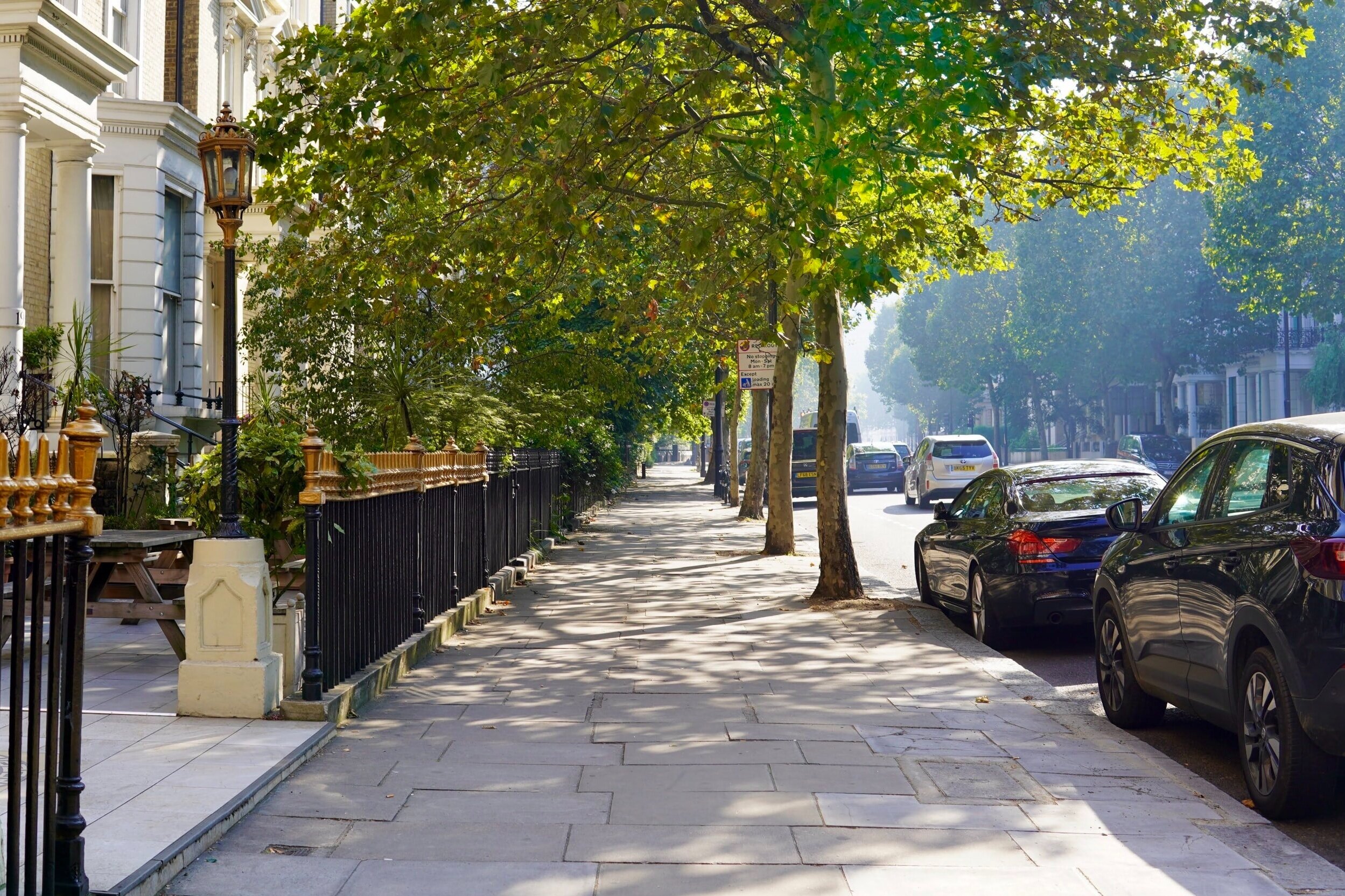
Harringay, London
Harringay is a residential area of North London, part of the London Borough of Haringey. It is centred on the section of Green Lanes running between the northern boundary of Finsbury Park up to the southern boundary of Duckett's Common, not far from Turnpike Lane. Whilst the main road feels definitely cosmopolitan, the population of the surrounding streets is somewhat more homogeneous. The streets to the west of Green Lanes are known as 'Harringay Park' or the 'Harringay Ladder' (due to their similarity to a ladder when seen on a map). The streets to the east behind Grand Parade are known as 'Harringay Gardens'.

Amenities
Harringay is spoilt for choice when it comes to restaurants that have a distinctly local and warm feel about them, There are endless opportunities for specialty shopping here with a lively mix of Greek, Turkish, Cypriot and Kurdish influences, which explains why chefs in particular seem to love it. Green Lanes offers such a wide choice of the freshest ingredients at very reasonable prices. From local grocery stores and speciality shops open all night, to one off jewellery and dress stores, Harringay is truly unique.

Local Transport Links
Manor House Underground Station - within a mile
Harringay Railway Station - within a mile
Finsbury Park Station (Railway Station) - within a mile
Finsbury Park Underground Station - within a mile
Harringay Green Lanes Railway Station - within a mile
Crouch Hill Railway Station - within a mile
Arsenal Underground Station - within a mile
Hornsey Railway Station - 1 mile N
Stamford Hill Railway Station - 1 mile E
Upper Holloway Station (Railway Station) - 1 mile SW
Drayton Park Railway Station - 1 mile S
Holloway Road Underground Station - 1 mile S
Turnpike Lane Underground Station - 1 mile N
Stoke Newington Railway Station - 1 mile E
Archway Underground Station - 1 mile W
Seven Sisters Station (Railway Station) - 1 mile NE
South Tottenham Railway Station - 1 mile NE
Seven Sisters Underground Station - 2 miles NE
Canonbury Railway Station - 2 miles S
Caledonian Road Underground Station - 2 miles S
Rectory Road Railway Station - 2 miles SE
Highbury & Islington Underground Station - 2 miles S
Highbury & Islington Station (Railway Station) - 2 miles S
Tufnell Park Underground Station - 2 miles SW
Wood Green Underground Station - 2 miles N

Nearby Points of Interest
Arsenal Stadium - within a mile
Emirates Stadium - 1 mile S
St Thomas Church - 2 miles E
Springfield Park - 2 miles E
Tottenham Hotspur FC (Stadium) - 3 miles NE
Hampstead Heath (Park) - 3 miles W
Clapton Park - 3 miles SE
Regent´s Park - 3 miles SW
Regent's Park - 4 miles SW
University of London - 4 miles S
St Bartholomew-the-Great (Church) - 4 miles S
St Giles-without-Cripplegate (Church) - 4 miles S
St Bartholomew-the-Less (Church) - 4 miles S
British Museum - 4 miles S
City Temple (Church) - 4 miles S
St Alphage London Wall (Ruin) - 4 miles S
St Andrew, Holborn (Church) - 4 miles S
St Botolph's Aldersgate (Church) - 4 miles S
Postman's Park - 4 miles S
St Alban (Tower) - 4 miles S
St Anne and St Agnes (Church) - 4 miles S
Lincolns Inn Fields (Park) - 4 miles S
Christ Church Greyfriars (Ruin) - 4 miles S
All Hallows-on-the-Wall (Church) - 4 miles S
St Botolph-without-Bishopsgate (Church) - 4 miles S

Nursery Schools
Harringay, London
South Grove Children's Centre
The Ladder Children's Centre
Woodlands Park Nursery School & Children's Centre
Woodlands Park Nursery School and Childrens Centre

Primary Schools
Harringay, London
Beis Chinuch Lebonos Girls School
Beis Rochel D'Satmar School
Belmont Infant School
Chestnuts Primary School
Islamic Shakhsiyah Foundation
North Harringay Primary School
North London Rudolf Steiner School
Rokesly Junior School
St Aidan's Voluntary Controlled Primary School
St Ann's CE Primary School
St Mary's CofE Primary School
The Grove
Tiverton Primary School
Vishnitz Girls School
West Green Primary School

Secondary Schools
Harringay, London
Beis Chinuch Lebonos Girls School
Beis Rochel d'Satmar Girls' School
Bnois Jerusalem Girls School
Greig City Academy
Hornsey School for Girls
Park View School
Skinners' Academy
The Grove

Sixth Forms & Colleges
Harringay, London
Area 51 Education Ltd
Beis Rochel d'Satmar Girls' School
Greig City Academy
Hornsey School for Girls
Lubavitch House School (Senior Girls)
Our Lady's Catholic High School
Skinners' Academy
The Grove

Closest Airports
London City Airport - 8 miles SE
Northolt - 14 miles W
London Heathrow Terminal 1 - 16 miles SW
London Heathrow Terminal 2 - 17 miles SW
London Heathrow Terminal 4 - 17 miles SW
London Heathrow Airport - 17 miles SW
London Heathrow Terminal 3 - 17 miles SW
Biggin Hill - 18 miles S
London Heathrow Terminal 5 - 18 miles SW
Luton Airport - 24 miles NW
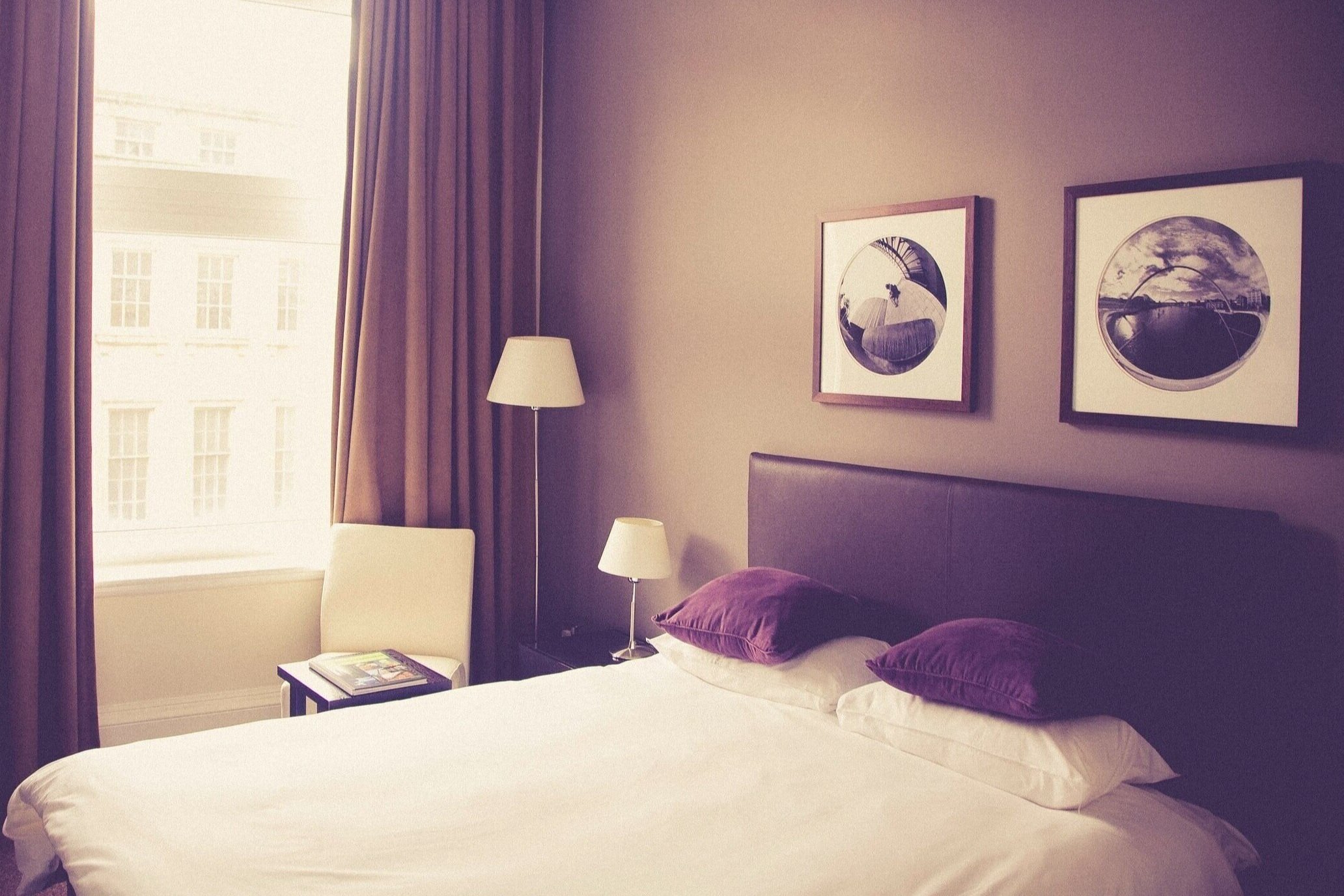
Hotels Near N19
Best Western London Highbury - within a mile
Pembury Hotel - within a mile
United Lodge Hotel and Apartments - within a mile
Queens Hotel - within a mile
Queens Drive Hotel - within a mile
Central Park Hotel - within a mile
Finsbury Park Apartments - within a mile
London Finsbury Park Apartments - within a mile
Beaconsfield Hotel - within a mile
Finsbury Park Homes - within a mile
Gloucester Hotel - within a mile
London Shelton Hotel - within a mile
Three Bedroom House on Mount View Road - within a mile
Fonthill House - within a mile
Stapleton Apartment - within a mile

Closest Hospitals
Barnet Enfield Haringey NHS Trust - within a mile
Whittington Hospital - 2 miles W
Homerton Hospital - 3 miles SE
Royal Free Hospital The - 3 miles SW
Royal National Throat Nose & Ear Hospital The - 3 miles S
Moorfields Eye Hospital - 3 miles S
Eastman Dental Hospital & Institute - 3 miles S
North Middlesex Hospital - 3 miles N
Great Ormond Street Hospital The - 3 miles S
National Hospital For Neurology & Neuro Surgery - 3 miles S